


UPDATE, 5:10am, 01/26- The Winter Storm has moved away from the area, leaving authorities the task of clearing snow-covered roads. Local, county and state crews are working to remove the snow from roads. Travel is still strongly discouraged, but extreme caution is urged if travel is necessary and make preparations in case you are stranded.
Area schools are closed for the day into the middle of part of the week for some districts. An updated list can be found HERE.
(Facebook/Breckinridge County Emergency Management)
The road conditions can prove even difficult for those charged with clearing them. A plow truck in Perry County, Indiana reportedly overturned on its side in the St. Croix area on Sunday. The two-man crew were able to exit the vehicle safely, but had some bumps and bruises. The truck will be towed when conditions improve.
There were no power outages in the Meade County RECC service area as of Monday morning. Only a handful of Farmers RECC customers in Grayson County were without service. About 50-thousand Kentucky customers are without power after the weekend winter storm. The majority of those outages were reported in southern and southeastern Kentucky, where larger amounts of ice accumulation were anticipated during the weekend.
-0-
Previous updates…
UPDATE. 12n, 01-25- Breckinridge County Schools will be closed to in-person classes through Wednesday of this coming week. Monday will be used as a traditional snow, with Tuesday and Wednesday as NTI Days 6 and 7.
You can the updated list of closings and delays HERE.
#
UPDATE, 10am, 01/25- The American Red Cross informs WXBC that Rough River State Park has opened as a warming center for the storm.
UPDATE, 08:45am, 01/25- The Winter Storm continues across the region Sunday morning with snow and sleet. Road crews are out working on the roads this morning, but travel is still strongly discouraged.
Photos submitted to Facebook Saturday and Sunday…
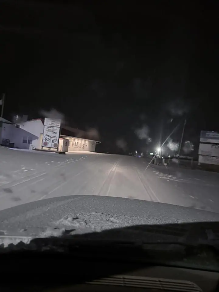
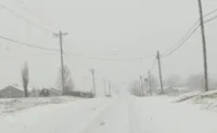
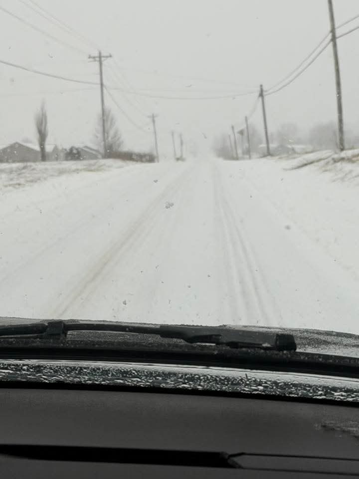
Caitlyn Burden- early Sunday morning on 259 at North Fork
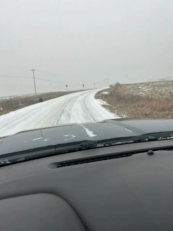
Crystal Barnett- 261 north of McQuady
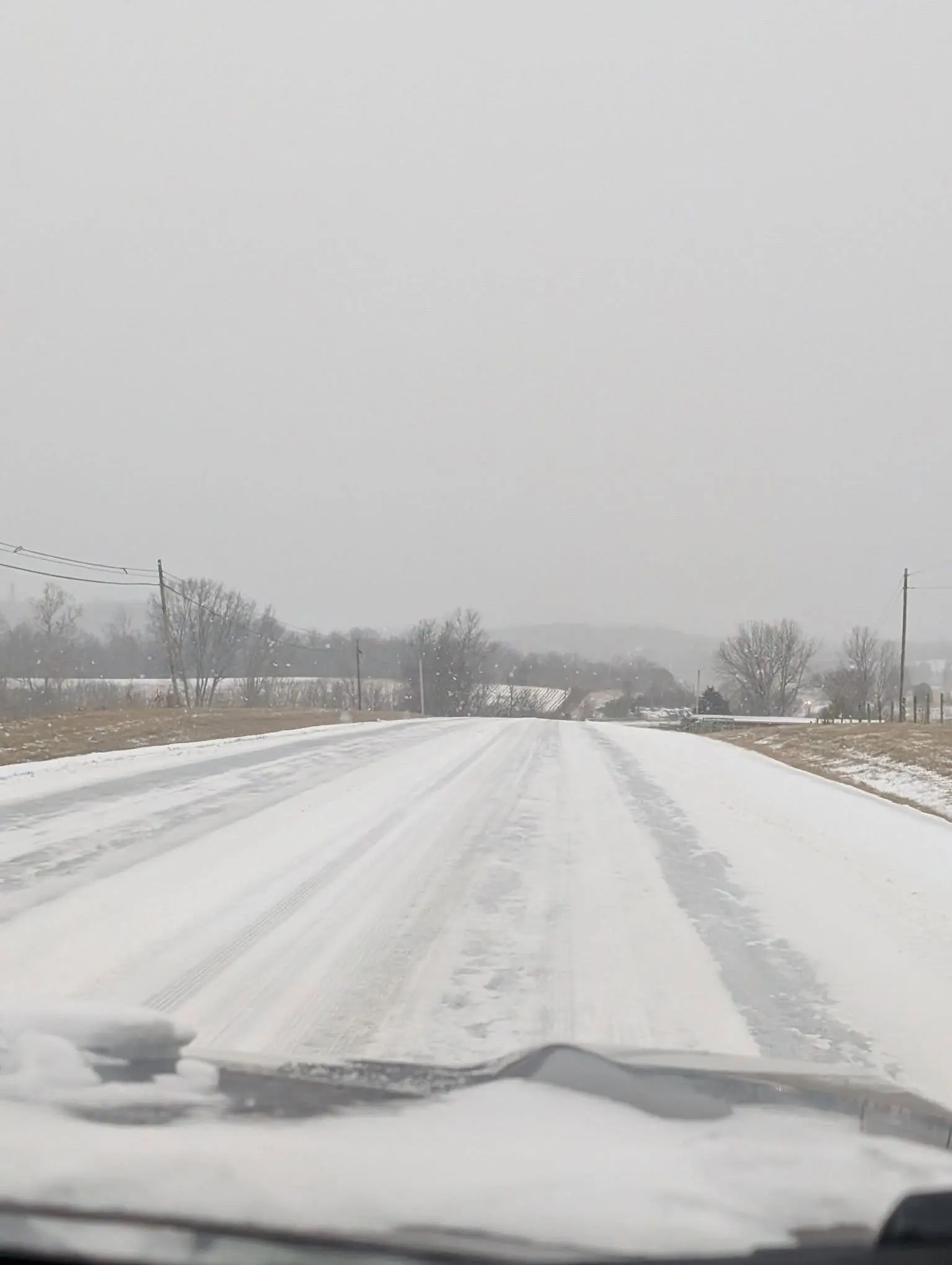
Marilyn Haynes Warner- U.S. 60 near Sinking Creek Bridge
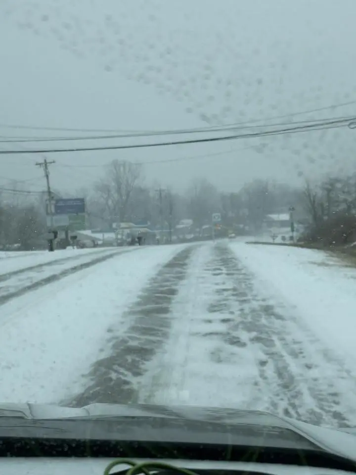
Sarah Hardesty- Hwy 60 near Garfield

Facebook/Breckinridge County Emergency Management
A number of churches and organizations have cancelled events into Monday in advance of the heavy snow. You can find our list HERE, which will be updated throughout the weather event.
UPDATE, 02:40pm, 01/24- Snowfall began in Breckinridge County late Saturday morning and quickly covered area roads. Local officials are asking residents to avoid travel if at all possible, but if travel is necessary, slow down and allow space for vehicles in front of you, especially emergency vehicles and road crews and be prepared for rapid changing conditions.
A number of churches and organizations have cancelled events into Monday in advance of the heavy snow. You can find our list HERE, which will be updated throughout the weather event.
UPDATE, 6:45am, 01/24- Heating centers will be made available in case of extended power outages. The Breckinridge County Emergency Management Office says in a post from Friday that in some cases. they made made available even if power remains on.
Locations that were listed in the post…
Cloverport: Cloverport Fire Department (270-617-0991)
Harned: Horsley Chapel Methodist Church (No Pets, 270-547-0757)
Hardinsburg: Basement of the Old Court House- (No Pets- Open 24/7)
Irvington: Lincoln Trail Christian Church (270-547-3355)
Bewleyville United Methodist Church (No Pets; 270-945-3847)
Rosetta Methodist Church (No Pets; 270-945-3847)
McDaniels: McDaniels Community Center
It is recommended you call ahead to the locations regarding availability.
The City of Hardinsburg and Hardinsburg Water are requesting snow removal vendors will be clearing off parking lots during and after the snow to refrain from piling the snow onto city-maintained sidewalks.
-0-
UPDATE, 1:30pm, 01/23- Mayor Charles Douglas Lucas of Irvington and Mayor Candy Weatherholt of Cloverport have now issued a “State of Emergency” for their respective cities.
Original Post…
UNDATED (01/23/26) — A “Winter Storm Warning” is in effect from early Saturday morning into Monday morning. Snow is expected to begin tomorrow morning, become heavy at times before mixing with sleet and freezing rain early Sunday. Snow accumulations could range from 7 to 13 inches with ice accumulations up to four-tenths of an inch are possible. Power outages and tree damage are likely due to the ice. Travel could be nearly impossible. That will be followed by extremely cold temperatures for the first part of next week.

Breckinridge County Judge Executive Maurice Lucas has issued a “State of Emergency” in advance of the Winter Storm. The order officially activates the County Emergency Operations Center for coordination and resourcing, allows county agencies to prepare, coordinate, and respond more efficiently, enables flexibility in staffing, purchasing, and resource use and positions the county to request mutual aid or state assistance if needed.
In the meantime, residents can prepare as well. The County’s Emergency Management office recommends to stay at home and off the roads for at least Saturday and Sunday, check smoke and carbon monoxide detectors and stock up on food, medications, heating resources and means to communicate.
Stay with WXBC for the latest on the weather.


